|
|
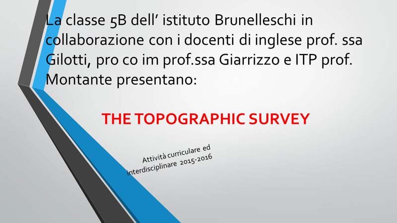
Attività curriculare interdisciplinare: simulazione di rilievo topografico
"THE TOPOGRAPHIC SURVEY"
|
|
 |
| clicca sull'immagine per avviare la presentazione |
|
.JPG) We, students of classes 5A and 5B of the ITG Brunelleschi, thanks to the English teacher, the PRO.CO.IM and ITP teachers, experienced a practical activity of surveying. We, students of classes 5A and 5B of the ITG Brunelleschi, thanks to the English teacher, the PRO.CO.IM and ITP teachers, experienced a practical activity of surveying.
We measured several points of the school courtyard by means of a total station.
We followed these phases:
1)We mounted the tripod
2)We put the instrument on it
3)We put in station or levelled the instrument in order to start working
4)Some students places the levelling rods in different points so as to form a polygon and through a prism, we found eight points
5)We took note of the data obtained from the various points and wrote down them on paper. The polygon we drew can be considered a parcel of land with horizontal and vertical angles and inclinated distances. |
|
|
"Get the Flash Player" "to see this gallery."
|
|
|
|